
Anúncios
Finding your way through unfamiliar streets used to mean folded paper maps and guesswork. Today, a GPS app turns every phone into a smart navigator.
GPS and mapping apps have quietly become one of the most used tools on any smartphone. They guide daily commutes, road trips, deliveries, and last-minute detours around traffic jams.
But not all navigation apps work the same way, and understanding their differences can save you time, fuel, and frustration on the road. 🚗
Why GPS Apps Replaced Traditional Navigation Devices#
A decade ago, standalone GPS devices were common in cars. Brands like Garmin and TomTom dominated dashboards, but they had a fundamental weakness: static maps.


Once installed, those devices required manual updates, often paid, to reflect new roads or closures. Smartphone-based GPS apps solved this by pulling data directly from the internet.
This means routes update in real time, reflecting:
- Live traffic conditions reported by other drivers
- Road closures and construction zones
- Accidents flagged within minutes
- Speed trap alerts shared by the community
This shift from hardware to software also meant navigation apps could be free, supported by ads or data partnerships, instead of costing hundreds of dollars upfront.
Core Features That Separate Good Apps From Great Ones#
Not every mapping app offers the same level of detail. Some focus purely on turn-by-turn directions, while others build entire ecosystems around community data and predictive routing.
Real-Time Traffic Rerouting#
The best apps analyze traffic density using GPS signals from thousands of devices simultaneously. If a highway slows down, the app recalculates within seconds and suggests an alternate route.
This feature alone can cut commute times by 15 to 30 minutes during rush hour in large cities like Los Angeles or São Paulo.
Offline Map Access#
Traveling abroad or through rural areas with weak signal makes offline maps essential. Apps like Google Maps and Maps.me let users download regions in advance, so navigation keeps working even without data.
Voice-Guided Directions#
Clear, natural voice prompts reduce the need to glance at the screen. Some apps even let users customize voice packs, adding a layer of personality to daily drives.
Comparing the Most Popular Navigation Apps#
Choosing between apps depends on what you value most: speed, social features, or simplicity. Here’s a practical breakdown:
| App | Best For | Standout Feature | Offline Mode |
|---|---|---|---|
| Waze | Urban driving | Community-reported hazards and police alerts | Limited |
| Google Maps | All-purpose navigation | Integration with business hours and reviews | Yes |
| HERE WeGo | International travel | Strong offline map quality | Yes |
| Maps.me | Hiking and remote areas | Detailed offline trail data | Yes |
Waze stands out for drivers who deal with heavy city traffic daily. Its crowdsourced model means other users actively report accidents, stopped vehicles, and even fuel prices nearby.
How GPS Apps Actually Calculate the Fastest Route#
Behind the simple blue line on your screen sits a complex system. GPS apps combine several data layers to decide which path is truly fastest.
These include:
- Historical traffic patterns for that specific time and day
- Current speed data from nearby drivers using the app
- Road type and speed limits
- Reported incidents like crashes or lane closures
Machine learning models process this information in milliseconds. That’s why two drivers starting the same route minutes apart might get slightly different suggestions.
Practical Tips to Get More Out of Your Navigation App#
Most people only scratch the surface of what these apps can do. A few adjustments can make daily use noticeably smoother.
Set Home and Work Locations#
Saving these addresses means one-tap navigation instead of typing the same destination repeatedly. It also enables smarter commute predictions based on your routine.
Enable Lane Guidance#
Many apps show which lane to use well before an exit or turn. This small detail prevents last-second lane changes, especially on busy highways.
Report Hazards Yourself#
Contributing reports, like a police checkpoint or stalled car, helps the entire community. Apps like Waze reward active contributors with badges and priority routing suggestions.

Waze Navigation & Live Traffic
Installs500M+
Size100MB
PlatformAndroid/iOS
PriceFree
Information about size, installs, and rating may change as the app is updated in the official stores.
Battery and Data Usage: What Drivers Should Know#
Running a GPS app continuously drains battery faster than most apps, mainly because it keeps the screen on and uses GPS, Wi-Fi, and cellular data together.
Here’s how to reduce that impact without losing navigation accuracy:
- Lower screen brightness while using car mount mode
- Download offline maps before long trips to reduce data usage
- Close background apps that also use location services
- Use a car charger for trips longer than 45 minutes
Data consumption varies too. A one-hour drive with live traffic updates typically uses between 5 and 10 MB, which is manageable even on limited plans.
GPS Apps Beyond Driving: Walking, Cycling, and Public Transit#
Modern mapping apps no longer serve only drivers. Walking directions now account for pedestrian-only paths, stairs, and crosswalks that cars can’t use.
Cyclists benefit from routes that prioritize bike lanes and avoid steep inclines when alternatives exist. This has made apps genuinely useful in cities with strong cycling infrastructure, like Amsterdam or Copenhagen.
For public transit, apps pull live schedules from local transport authorities, showing exactly when the next bus or train arrives, plus platform numbers and transfer points. 🚇
Privacy Considerations Worth Understanding#
Navigation apps require location access to function, which naturally raises questions about data collection. Most major apps anonymize location data used for traffic analysis.
Still, it’s worth checking app permissions periodically. Some settings worth reviewing include:
- Whether location is shared “always” or only “while using the app”
- If search history and frequent destinations are stored
- Options to clear location history manually
Adjusting these settings doesn’t reduce navigation accuracy, it simply limits how much data gets retained after your trip ends.
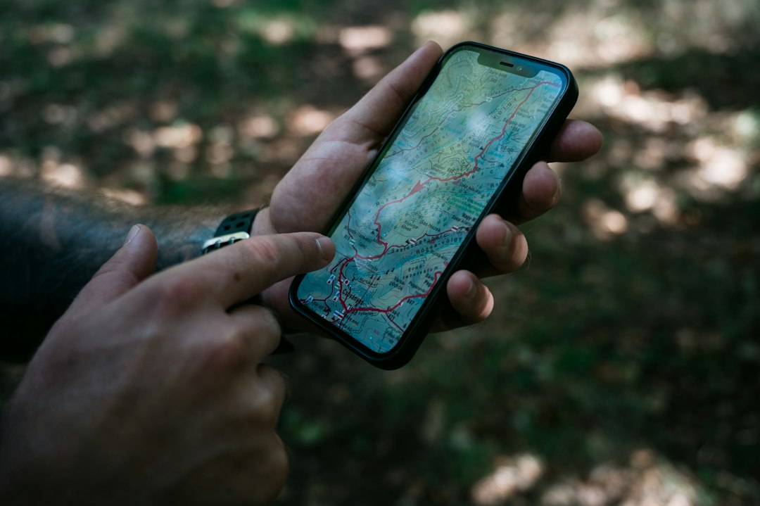
Choosing the Right App for Your Daily Routine#
The right choice really depends on how and where you drive. City commuters dealing with unpredictable traffic tend to prefer community-driven apps with real-time hazard reports.
Travelers heading to remote regions or crossing borders benefit more from apps with strong offline capabilities and detailed international maps.
Testing two or three apps over a week, comparing actual arrival times against estimates, often reveals which one fits your specific routes better than any review ever could. 📍

Keep reading
You might also like

Best Horror Movie Apps to Stream Scary Films Today
Horror movie apps have changed how fans discover, stream, and track scary films, putting decades of chilling content into a single pocket-sized…

Comic Book App: Read and Create Digital Comics
Turning everyday moments into comic panels is easier than ever, and a dedicated comic maker app puts that power right in your…